Kaamulan Festival 2011 Street Map
KAAMULAN FESTIVAL 2011 | MALAYBALAY CITY | BUKIDNON NEWS – Yes, they’re back. These Malaybalay City Street Maps were first introduced in 2008, in an effort to guide the tourists, guests and even locals as the entire province celebrates the Kaamulan Festival. Here’s how the 2009 Malaybalay City street map looked like. Here’s how the 2010 version looked like.
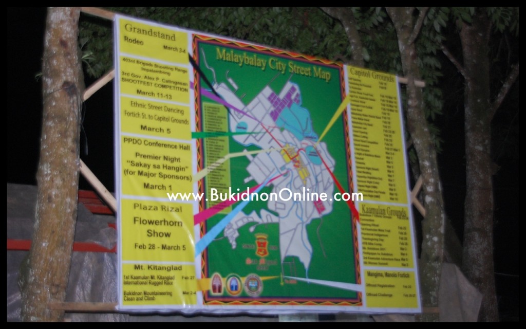
Now check out the current Kaamulan Festival 2011 Malaybalay City street map:
 Found this one at the back of the Capitol Stage, Capitol Grounds, Malaybalay City (where majority of the Kaamulan events will be held).
Need a place to stay? Book Your Hotel in Bukidnon and anywhere in the world
Need transportation? Book your bus, flight, ferry/boat, train here
YOU CAN ALSO BOOK BY CLICKING BELOW:
Klook.comWe reckon that a similar one will be put up at the Plaza Rizal along Fortich Street (the city’s main thoroughfare).
These large street maps aim to provide not only the tourists but also the locals a clearer picture of the various Kaamulan 2011 events and the corresponding venues.
Have these street maps been useful to you? Please share your comments below 🙂


